
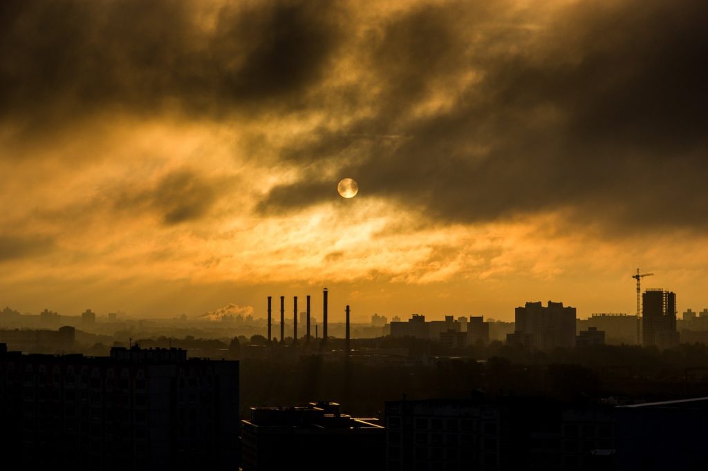
2014-15 Winter Weather Outlook
Riskpulse meteorologists predict El Niño conditions and a more southerly placement of the polar vortex will create an abnormal winter for much of the continental United States.

Computer models predict a warmer than normal Pacific Ocean which will send moisture across the Southern U.S.
El Niño is associated with warmer than normal water temperatures in the Equatorial Pacific Ocean and plays a huge role on weather conditions during the winter season in the United States. During these events, cooler and wetter conditions typically occur across much of the Southern United States, with warmer and drier conditions across the Pacific Northwest.
The “polar vortex”, a sustained large-scale low pressure area typically located near the North Pole, will likely be displaced further south across Canada this winter. This will cause several waves of arctic air to move southeastward, causing lower than average temperatures in the eastern half of the country.
Potential Storm Tracks: Winter 2014-15
Due to the expected El Niño conditions this winter, the subtropical jet stream will help to send plentiful moisture across the southern half of the United States, while the polar jet stream brings down very cold air from Canada. The intersection of these two jet streams could cause a few major winter storms across the eastern half of the country.

Region-By-Region Breakdown

A – Southeast United States: The Southeast U.S. will likely have a cooler and wetter than normal winter, with many areas receiving several snow and ice events. Due to the cold airmasses that will likely be in place and an active storm track over the area, a few major winter storms are possible.
B – Central and Northeast United States: A large part of the Central and Northeast U.S. will likely see below average temperatures and normal precipitation this winter. The polar jet stream will likely help to send several strong cold fronts through these areas and when moisture is present, some heavy snow and ice events could occur.
C – Northern Plains: The Northern Plains will likely have a frigid winter, with several arctic airmasses moving into and remaining across the area. Due to the brutally cold air that will likely be present across the Northern Plains, moisture will be limited and therefore below average precipitation is expected.
D – Southwest United States: The Southwest U.S. has a pretty good chance of getting drought relief this winter due to the active storm track that will likely be over the area. This area should see a warmer than normal winter as much of the cold air will remain across the eastern half of the United States.
E– Central and Northern Rockies: The Central and Northern Rockies will likely see normal temperatures and precipitation this winter. This area is expected to be on the western edge of the colder airmasses coming down from Canada and on the northern edge of the active subtropical jet stream across the Southern U.S. However, a few major snow storms will be possible across the area this winter.
F – Northwest United States: The Northwest U.S. will likely experience a warmer and drier than normal winter this year. Most of the storm systems will remain to the south of the region, causing warm and dry conditions here.
Overall, we predict that the U.S. will experience a colder than normal winter. If you enjoyed this analysis and would like to find out how Riskpulse can help your business, call us at 1-800-645-8480 or email us at sales@riskpulse.com.
Related post

What Is a Risk Management Plan?
The Need for a Supply Chain Risk Management Plan What a year 2020 was for supply chains. No wonder more companies are going beyond supply…
Using Supply Chain Predictive Analytics to Reduce Risk
Supply Chain Predictive Analytics and Customer Service Service. It’s the difference between an average company and one that stands out from the rest. Forbes reports…
How to Mitigate Risk in The Supply Chain
The Supply Chain Risk Management Assessment A Deloitte Touche Tohmatsu survey found that 85 percent of global supply chains experienced at least one disruption in…